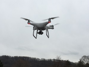
OCI Drone Services
OCI Drone Services provide our clients with solutions for both 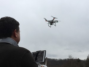 large and small scale projects. We provide up to date aerial photography and drone video services to a variety of clients. We have the ability to capture flight data in a short amount of time which means faster results.
We are authorized under FAA regulation Part 107 to operate a sUAS (Drone)
- Realistic 3D mesh models date aerial photography of buildings and property
- Site Assessment & Monitoring
- 3D Video Inspections
 Documenting & measuring sites from an aerial perspective
- DEM / DTM/ DSM (surface models)
- Accurate, georeferenced elevations maps
- Orthomosaic Map Services
- Construction & Large Property Mapping
- 3D Real Estate Models
- Marketing photos and videos of potential development sites